Habitat
Conservation Plan (HCP) for
Bald Eagle
Photographs of Site
Stingray Point, Middlesex
County, Virginia
This
page includes links to photographs that were included as an Appendix
to Pete and Pam Wright's HCP and photos taken after the nest blew
out of the tree.
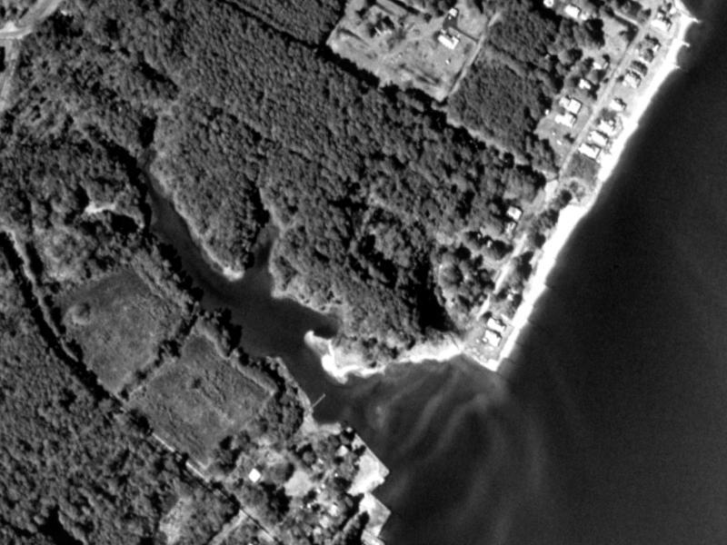
1.
Satellite
Photo of Stingray Lake area before clear-cutting
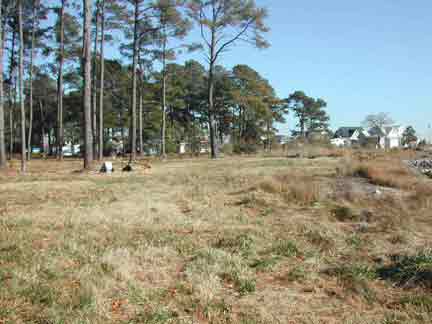
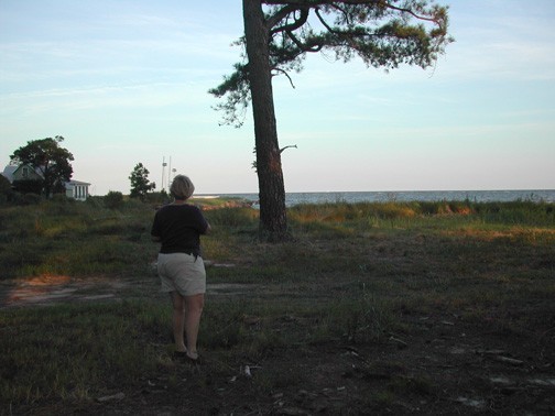
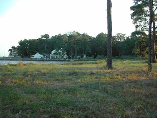
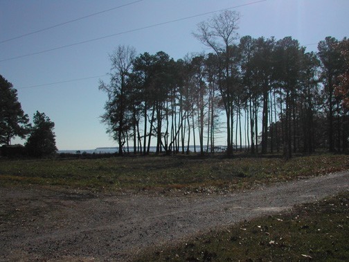
2.
View
of homesite looking northeast from cove.
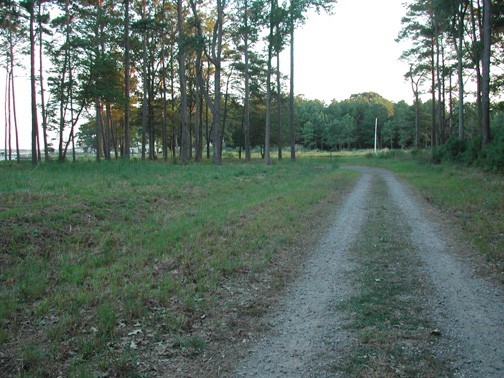
3.
Entrance
road (Fourth Avenue) into property from State Route 33, vacated
nest in trees on left.
4.
Intersection
of entrance road into property (Fourth Avenue) and Harromere, 100
feet from SR 33, vacated nest in trees.
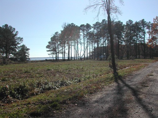
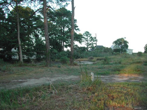
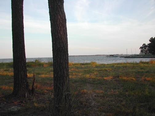
5.
View
east from southern part of property.
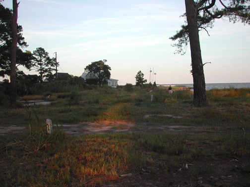
6.
View
to east from southern part of property.
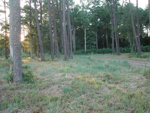
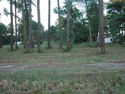
7.
Middle
of property, view to east.
8.
From
middle of property, looking east.
9.
From
middle of property, looking south.
10.
From
middle of property, looking southwest.
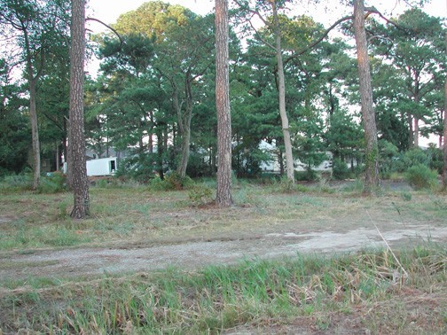
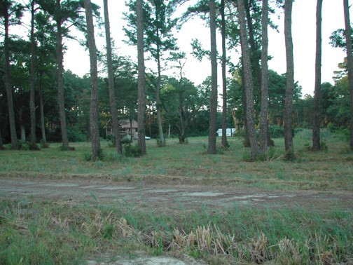
11.
From
southern edge of property, looking northeast.
12.
View
from base of vacated nest tree, looking at new house to north.
13.
View
from base of vacated nest tree, looking toward line of houses to
east.
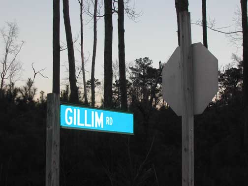
14.
View
of old nest tree at intersection of SR 33 and Gillam Road.
15.
View
of property and trees from new house (built in 20000 at intersection
of Fourth Avenue and Harromore new house
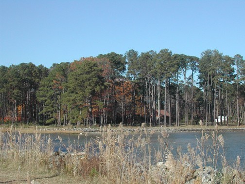
16.
View
of property from western shore of Stingray Lake.
17.
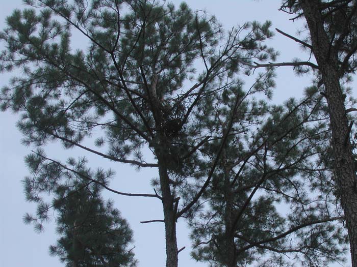
The
vacated nest.
August 2003 Photos of the nest tree after
the nest blew down
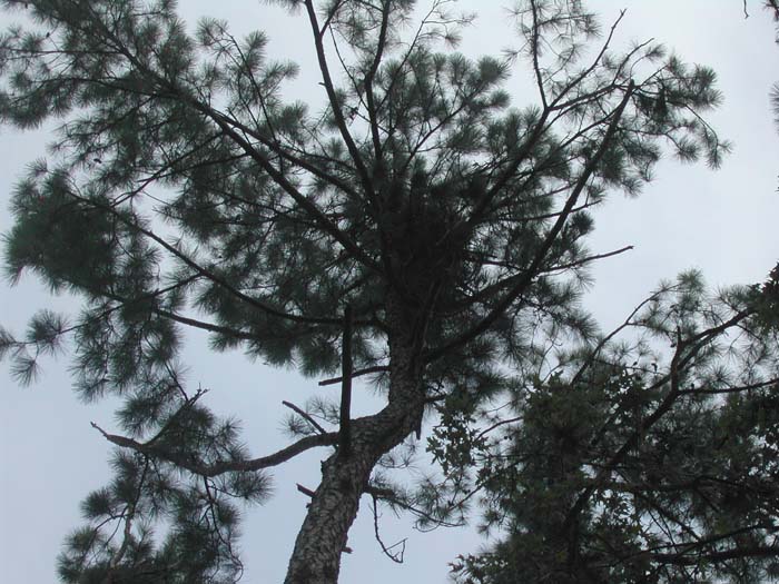
18.
Nest
tree #1
19. Nest
tree, another angle.
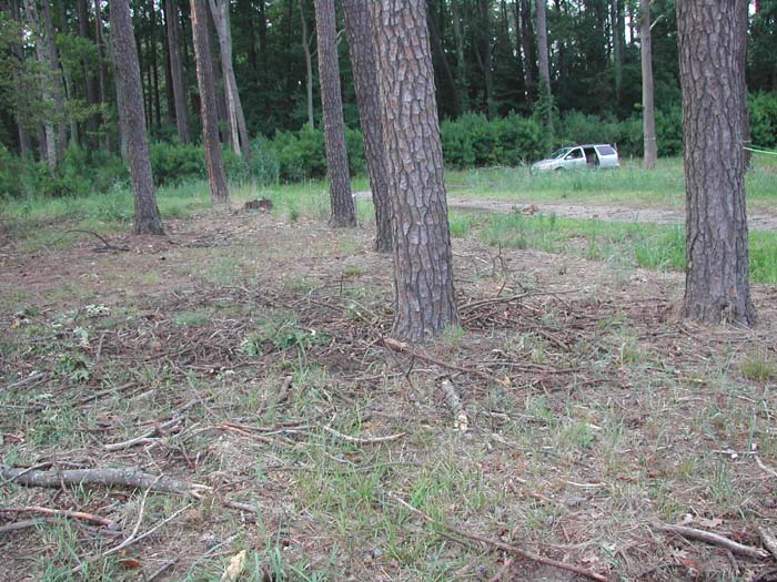
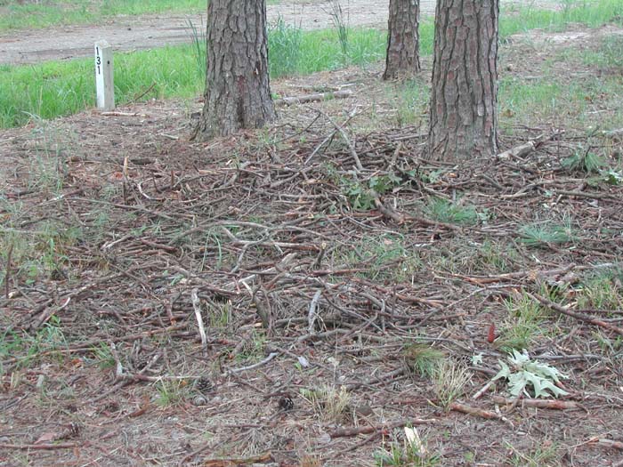
20. Remains
of eagle nest on the ground
21. Sticks,
remains of eagle nest on the ground
22. Closeup
of eagle nest on ground
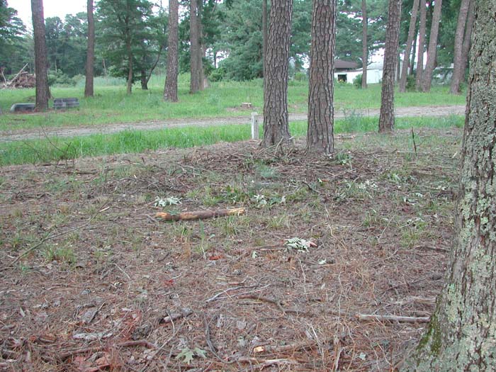
23.
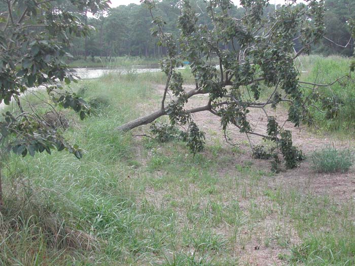
Small
tree near nest tree that was downed during storm
Back
to Pete & Pam Wright's HCP Page